Special weather statement for Edmonton warning of heavy, blowing snow

Posted April 23, 2026 9:08 am.
Last Updated April 23, 2026 2:16 pm.
A special weather statement has been issued for Edmonton Thursday morning, warning of heavy bands of snow beginning tonight through to Saturday morning.
Environment and Climate Change Canada says locally rapid snow accumulation and poor visibility should be expected.
“Rapidly deteriorating weather conditions are expected with reduced visibilities in heavy snow over localized areas,” the weather agency.
It adds that snowfall totals will be highly variable, but some areas may see quick accumulations of up to 10 centimetres of snow.
Blowing snow is also possible overnight Thursday and into Friday afternoon, causing poor visibility.
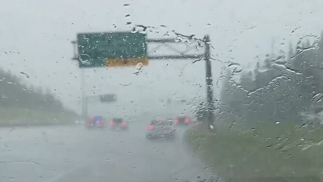
Drivers should prepare for quickly changing and deteriorating travel conditions.
These winter-like conditions comes after tempertures in the low 20s earlier this week.
The warning of snow accompanies a descent into cooler temperatures Thursday, with a forecasted high of 3 C and a chance of flurries in the evening. The forecasted low is -3 C, according to ECCC, but the wind chill could make it feel more like -10 C.
Friday will be chilly again — with flurries to be expected and wind gusting up to 60 km/h. The high will reach just 1 C with a wind chill of -11 C in the morning.
Periods of snow could continue on Saturday, ECCC says, as temperatures are set to hover between -2 C and -5 C.
Sunday will be cloudy with a high of 2 C and a low of -6 C.
These temperatures are a far cry from the heat Calgarians got for the first three days of the week — Monday and Tuesday soared to 22 C and Wednesday was 15 C.
The weather agency says it will begin to warm up again for the start of the work week. Tuesday has a forecasted high of 12 C.
According to ECCC, the normal high for this time of year is 14 C, while the low is -2 C.